
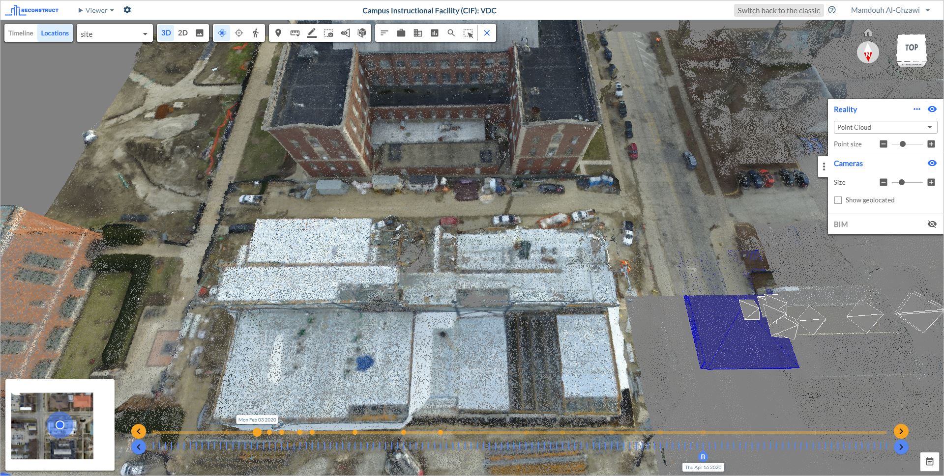
Navmap provides the ability to see an orthographic projection of the project derived from the real capturing If the project has already a drone capturing, as shown in the left bottom corner of the image below:
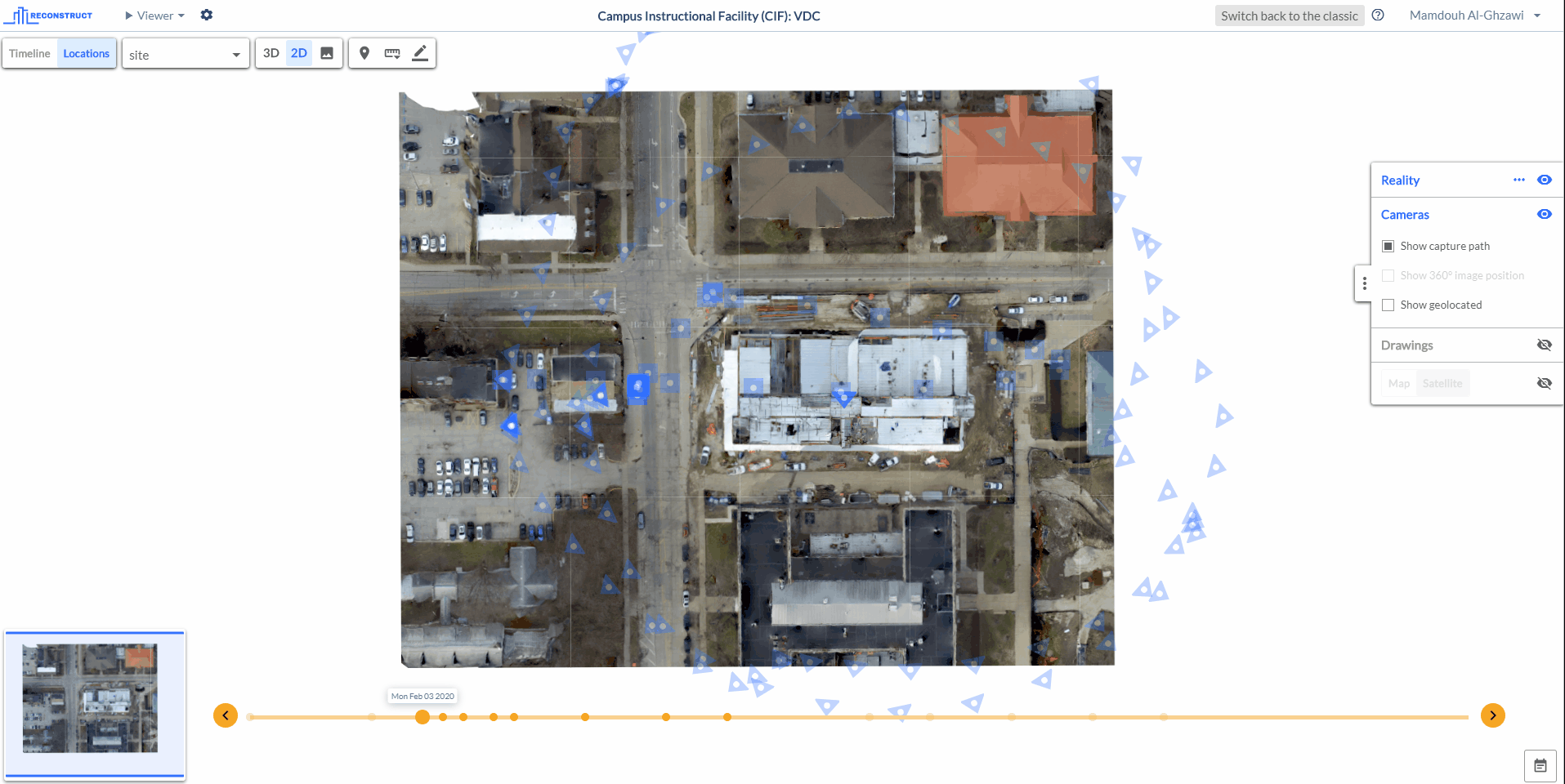
Moreover, if the images have GPS information, the Navmap will link the project to its real location in the global map with both map and satellite view. To do so, click on the 2D toggle to access the 2D viewer, in the control panel activate the map/satellite section and choose the desired option. This will show the project projected over its location on a global map/satellite. In the Navmap you can switch between the map and satellite options by hover the mouse over the navmap to maximize it then click on the map icon toggle to switch from map view to a satellite view and vice versa.
The previous steps can be done as shown below:
Comments
0 comments
Article is closed for comments.