
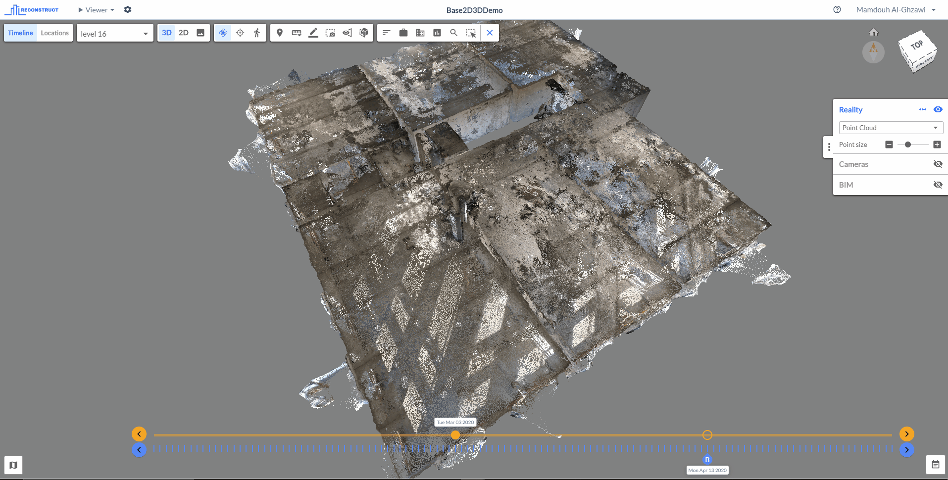
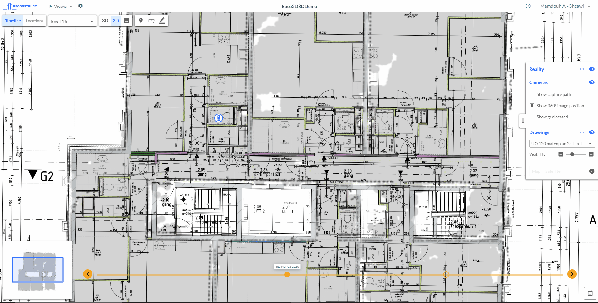
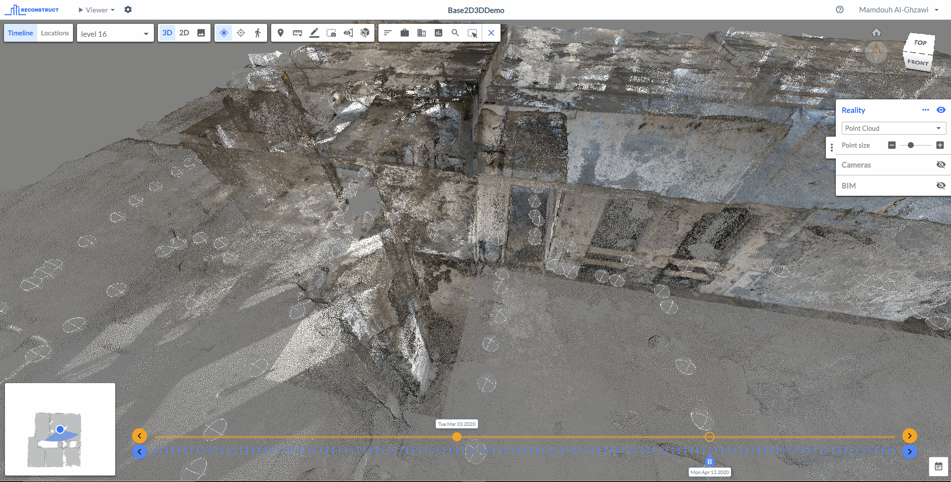
The navigation map is a feature in reconstruct that displays the map of the project. It shows the location of the user in reference to the point cloud and/or drawings and it is available in both of the viewer’s sections; 2D viewer, and 3D viewer.
Once in the viewer (see Accessing the Viewer to learn more about how to get there), the Navmap can be seen in the bottom left corner. To maximize the Navmap, click on the Navmap icon in the bottom left corner as shown below:
In the 2D viewer (check Navigation in 2D Viewer), Navmap shows what the user sees in the interface as a box in reference to the whole drawings and/or the point cloud and the user can switch between them from the map itself, as shown below:
Additionally, in the 3D viewer it indicates the direction and the orientation of the scene that is being seen, Moreover, it shows the location of the registered images in reference to the point cloud and/or drawings and it allows you to move to the image view by clicking on the image you want to examine, as shown below:
Comments
0 comments
Article is closed for comments.